ARGO Home
Open menu
Stories
Themes
People
Partner Collections
About ARGO
Search
Empires and Nations:
British Empire
British Empire
French Empire
Wabanaki
United States
Spanish Empire
Dutch Empire
Danish Empire
Ohio Nations
Haudenosaunee (Iroquois) Confederacy
Cherokee Nation
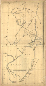
New York & New Jersey commissioners line from 41⁰ on Hudson's River taken in 1769
Library of Congress Collection
See map
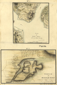
Plan of Perth Amboy from an actual survey. Sketch of Bonham Town
Library of Congress Collection
See map
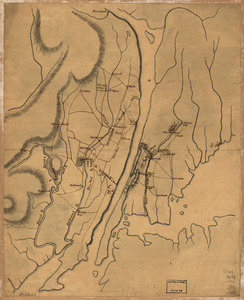
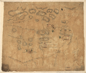
Plan of the country at and in the vicinity of Forts Lee and Independency, showing the position of the British Army
Library of Congress Collection
See map
Sketch of the engagement at Trenton
Library of Congress Collection
See map
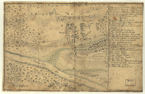
Plan de l'affaire de Westfield & du camp de Raway
Library of Congress Collection
See map
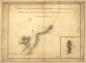
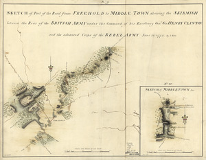
Sketch of part of the road from Freehold to Middle Town
Library of Congress Collection
See map
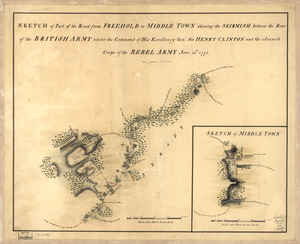
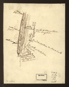
Sketch of part of the road from Freehold to Middle Town
Library of Congress Collection
See map
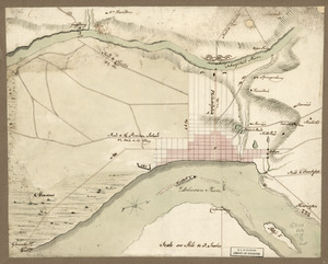
Sketch of part of the road from Freehold to Middle Town
Library of Congress Collection
See map
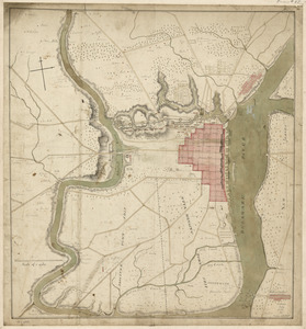
Map showing roads to Morristown
Library of Congress Collection
See map
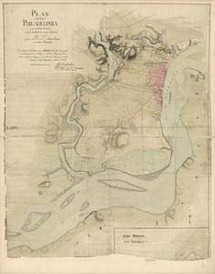
Plan of the city of Philadelphia and its environs shewing its defences during the years 1777 & 1778
Library of Congress Collection
See map
Philadelphia and vicinity. Military
Library of Congress Collection
See map
Philadelphia and neighborhood
Library of Congress Collection
See map
Showing
181
to
192
of
439
results
Previous
Next