ARGO Home
Open menu
Stories
Themes
People
Partner Collections
About ARGO
Search
Features:
Cartouche
Animal
Cartouche
Printed
Hand Coloring
Manuscript
Surveys
Atlas
Non-Map
Views
Marginalia
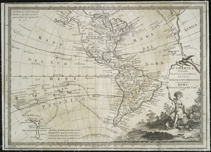
L'America secondo leultime osservazioni divisa né suoistati principali
New York Public Library Collection
See map
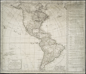
Carte d'Amerique
New York Public Library Collection
See map
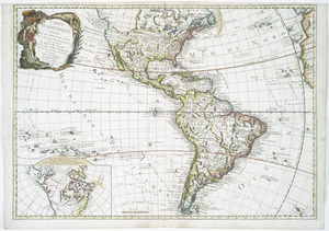
Amérique ou Indes Occidentales, avec les nouvelles découvertes du Capit'e Cook, depuis le Détroit de Behrings ou du Nord, dans l'Océan Pacifique du Nord et Sud
New York Public Library Collection
See map
An accurate map of Canada, with the adjacent countries
New York Public Library Collection
See map
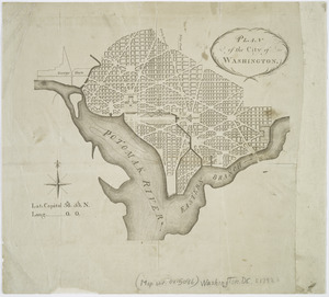
Plan of the city of Washington
New York Public Library Collection
See map
Carte de la Louisiane et des pays voisins
New York Public Library Collection
See map
A map of Maryland with the Delaware counties and the southern part of New Jersey &c
New York Public Library Collection
See map
Amérique Septentrionale publiée sous les auspices de Monseigneur le Duc d'Orleans prémier prince du sang
New York Public Library Collection
See map
A new and accurate map of New Jersey, Pensilvania, New York and New England
New York Public Library Collection
See map
Mappa geographica Americae Septentrionalis
New York Public Library Collection
See map
Canada, Louisiane et terres angloises
New York Public Library Collection
See map
Canada, Louisiane et terres angloises
New York Public Library Collection
See map
Showing
325
to
336
of
442
results
Previous
Next