ARGO Home
Open menu
Stories
Themes
People
Partner Collections
About ARGO
Search
Features:
Manuscript
Animal
Cartouche
Printed
Hand Coloring
Manuscript
Surveys
Atlas
Non-Map
Views
Marginalia
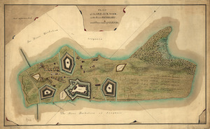
Plan of the Isle aux Noix, in the River Richelieu, and Province of Canada
Library of Congress Collection
See map
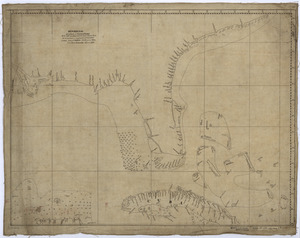
Plan of the route from St. Francis to Connecticut River
Library of Congress Collection
See map
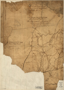
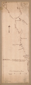
A plan of a survey made to explore the country for a road between Connecticut River & St. Francis
Library of Congress Collection
See map
Descripcion de la costa de Tierra Firme desde el Rio de la Empalizada hasta Cavo de Clara
Library of Congress Collection
See map
A Map of the western parts of the province of Pennsylvania, Virginia, &c
Library of Congress Collection
See map
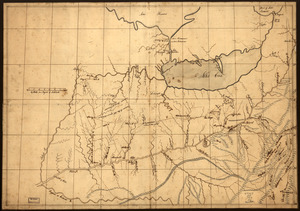
A trader's map of the Ohio country before 1753
Library of Congress Collection
See map
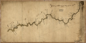
River of Ohio
Library of Congress Collection
See map
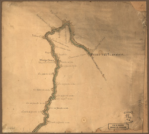
Map of the Ohio River from Fort Pitt
Library of Congress Collection
See map
This map of Kentucke
Library of Congress Collection
See map
Marche de l'armée française de Providence à la Rivière du Nord
Library of Congress Collection
See map
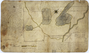
The above plan is a discription of a new township containing the quantity of seven and a half mile of land & water, granted by the General Court to the proprietors of Bakerstown
Library of Congress Collection
See map
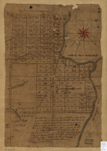
The above plan is a discription of a new township called Royalsborough in the county of Cumberland
Library of Congress Collection
See map
Showing
349
to
360
of
946
results
Previous
Next