ARGO Home
Open menu
Stories
Themes
People
Partner Collections
About ARGO
Search
Features:
Manuscript
Animal
Cartouche
Printed
Hand Coloring
Manuscript
Surveys
Atlas
Non-Map
Views
Marginalia
Dotted line map of Washington, D.C., 1791, before Aug. 19th
Library of Congress Collection
See map
Nuevo plano de Puerto Rico
Library of Congress Collection
See map
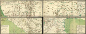
Mapa, que comprende la Frontera, de los Dominios del Rey, en la America Septentrional
Library of Congress Collection
See map
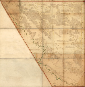
Map of military lots, tracts, patents, etc. in western Allegany and Garrett Counties, Maryland
Library of Congress Collection
See map
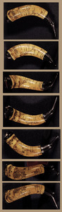
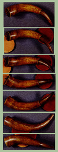
Powder horn with hand-drawn map of the Hudson River (above Albany), Mohawk River, Niagara region, and Lake Ontario in New York Province
Library of Congress Collection
See map
Lord Cornwallis surrender, 1781
Library of Congress Collection
See map
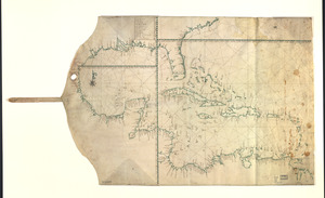
Map showing Caribbean area including West Indies and Gulf of Mexico
Library of Congress Collection
See map
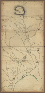
Roxbury to Concord
Library of Congress Collection
See map
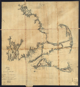
A plan of the sea coast from Boston Bay to the light house near Rhode Island
Library of Congress Collection
See map
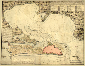
Buzzards Bay and shoals of Nantucket
Library of Congress Collection
See map
A general & particular plan of the island of Castle William near Boston
Library of Congress Collection
See map
[Boston Harbour, with the surroundings, &c]
Library of Congress Collection
See map
Showing
793
to
804
of
946
results
Previous
Next


![[Boston Harbour, with the surroundings, &c]](https://bpldcassets.blob.core.windows.net/derivatives/images/commonwealth:t722hs94d/image_thumbnail_300.jpg)