ARGO Home
Open menu
Stories
Themes
People
Partner Collections
About ARGO
Search
Features:
Manuscript
Animal
Cartouche
Printed
Hand Coloring
Manuscript
Surveys
Atlas
Non-Map
Views
Marginalia
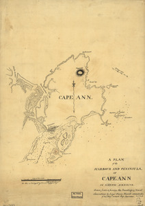
A plan of the harbour and peninsula of Cape Ann in North America
Library of Congress Collection
See map
Boston, its environs and harbour
Library of Congress Collection
See map
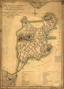
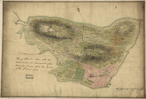
A plan of the town of Boston with the intrenchments &ca. of His Majesty's forces in 1775
Library of Congress Collection
See map
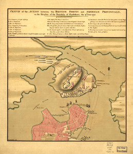
Sketch of the action between the British forces and American provincials, on the heights of the peninsula of Charlestown
Library of Congress Collection
See map
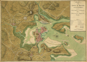
A plan of the town of Boston and its environs, with the lines, batteries, and incampments of the British and American armies
Library of Congress Collection
See map
A Temporary project for a star redout [sic] to contain 150 men
Library of Congress Collection
See map
A plan of the bay and harbor of Boston
Library of Congress Collection
See map
Plan of Charles Town, with the intrenchments, and encampment of His Majesty's troops, after the action of the 17th. June 1775
Library of Congress Collection
See map
Plan du port et de la ville de Louisbourg
Newberry Library Collection
See map
Carte de la rivire du Cannada, la Terre Nevf, Cape Britton et la cotte de Lacadie
Newberry Library Collection
See map
Amerique Septentrionale
Newberry Library Collection
See map
[Continuation of Plan du detroit de Belle Isle et du Golphe St. Laurent]
Newberry Library Collection
See map
Showing
841
to
852
of
946
results
Previous
Next

![[Continuation of Plan du detroit de Belle Isle et du Golphe St. Laurent]](https://bpldcassets.blob.core.windows.net/derivatives/images/commonwealth:z603vm96n/image_thumbnail_300.jpg)

![A Temporary project for a star redout [sic] to contain 150 men](https://bpldcassets.blob.core.windows.net/derivatives/images/commonwealth:z603vj703/image_thumbnail_300.jpg)


