ARGO Home
Open menu
Stories
Themes
People
Partner Collections
About ARGO
Search
Features:
Printed
Animal
Cartouche
Printed
Hand Coloring
Manuscript
Surveys
Atlas
Non-Map
Views
Marginalia
A map of the colonies of Connecticut and Rhode Island, divided into counties & townships, from the best authorities
Norman B. Leventhal Map & Education Center Collection
See map
Pensylvania Nova Jersey et Nova York cum Regionibus ad Fluvium Delaware in America sitis
Norman B. Leventhal Map & Education Center Collection
See map
Situations plan der Englischen Armée vor und um Boston nebst der stellung der Americaner
Norman B. Leventhal Map & Education Center Collection
See map
Amérique Septentrionale
Norman B. Leventhal Map & Education Center Collection
See map
Plan of Fort le Quesne, built by the French at the fork of the Ohio and Monongahela in 1754
Norman B. Leventhal Map & Education Center Collection
See map
Mechios River near the mills
Norman B. Leventhal Map & Education Center Collection
See map
The River St. John
Norman B. Leventhal Map & Education Center Collection
See map
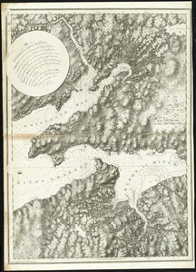
The isthmus of Nova Scotia
Norman B. Leventhal Map & Education Center Collection
See map
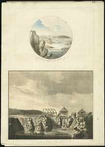
[Chignecto Bay and vicinity]
Norman B. Leventhal Map & Education Center Collection
See map
Cape Blowmedown
Norman B. Leventhal Map & Education Center Collection
See map
Annapolis Royal ...
Norman B. Leventhal Map & Education Center Collection
See map
South entrance of Grand Passage
Norman B. Leventhal Map & Education Center Collection
See map
Showing
253
to
264
of
1174
results
Previous
Next


![[Chignecto Bay and vicinity]](https://bpldcassets.blob.core.windows.net/derivatives/images/commonwealth:9g54xk66m/image_thumbnail_300.jpg)


