ARGO Home
Open menu
Stories
Themes
People
Partner Collections
About ARGO
Search
Features:
Printed
Animal
Cartouche
Printed
Hand Coloring
Manuscript
Surveys
Atlas
Non-Map
Views
Marginalia
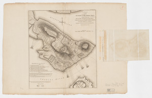
Plan de Boston
Boston Athenaeum, Cartographic Collection
See map
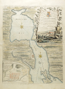
Carte d'une partie de l'Amérique Septentrionale
Boston Athenaeum, Cartographic Collection
See map
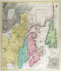
Carte de la Nouvelle Angleterre, Nouvelle Yorck, et Pensilvanie
Boston Athenaeum, Cartographic Collection
See map
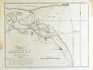
A plan of Albany River in Hudson's Bay
Boston Athenaeum, Cartographic Collection
See map
Carte du havre de Chibucto avec le plan de la ville de Halifax sur la coste de l'Accadia ou Nova Scotia latitude 44° 31ʹ
Boston Athenaeum, Cartographic Collection
See map
Partie orientale de la Nouvelle France ou du Canada
Boston Athenaeum, Cartographic Collection
See map
A plan of the action at Bunkers Hill on the 17th of June 1775 between His Majesty's troops, under the command of Major General Howe, and the American forces
Harvard Map Collection
See map
A map of the country in which the army under Lt. General Burgoyne acted in the campaign of 1777
Harvard Map Collection
See map
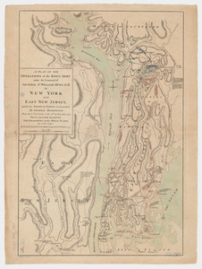
A plan of the operations of the King's army
Harvard Map Collection
See map
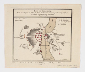
Baie de Chesapeak
Harvard Map Collection
See map
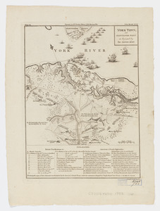
York Town, and Gloucester Point
Harvard Map Collection
See map
Exact plan of General Gage's lines on Boston Neck in America
Harvard Map Collection
See map
Showing
769
to
780
of
1174
results
Previous
Next