ARGO Home
Open menu
Stories
Themes
People
Partner Collections
About ARGO
Search
Languages:
English
English
French
German
Latin
Spanish
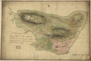
[Rough draft of Charlestown, in water colour]
Library of Congress Collection
See map
Plan of the heights of Charles Town, &c
Library of Congress Collection
See map
Fort on Fort Hill in Boston
Library of Congress Collection
See map
A new and accurate chart of the harbour of Boston in New England in North America
Library of Congress Collection
See map
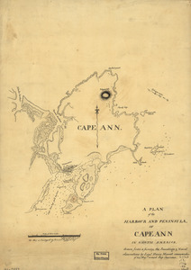
A plan of the harbour and peninsula of Cape Ann in North America
Library of Congress Collection
See map
Boston, its environs and harbour
Library of Congress Collection
See map
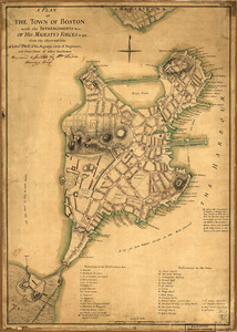
A plan of the town of Boston with the intrenchments &ca. of His Majesty's forces in 1775
Library of Congress Collection
See map
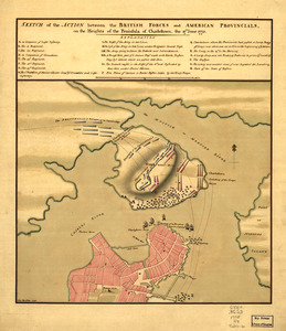
Sketch of the action between the British forces and American provincials, on the heights of the peninsula of Charlestown
Library of Congress Collection
See map
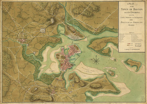
A plan of the town of Boston and its environs, with the lines, batteries, and incampments of the British and American armies
Library of Congress Collection
See map
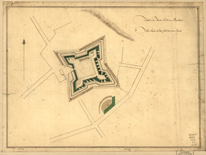
A Temporary project for a star redout [sic] to contain 150 men
Library of Congress Collection
See map
A plan of the bay and harbor of Boston
Library of Congress Collection
See map
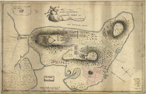
Plan of Charles Town, with the intrenchments, and encampment of His Majesty's troops, after the action of the 17th. June 1775
Library of Congress Collection
See map
Showing
1333
to
1344
of
1647
results
Previous
Next

![[Rough draft of Charlestown, in water colour]](https://bpldcassets.blob.core.windows.net/derivatives/images/commonwealth:z603vj49v/image_thumbnail_300.jpg)

![A Temporary project for a star redout [sic] to contain 150 men](https://bpldcassets.blob.core.windows.net/derivatives/images/commonwealth:z603vj703/image_thumbnail_300.jpg)
