ARGO Home
Open menu
Stories
Themes
People
Partner Collections
About ARGO
Search
Languages:
English
English
French
German
Latin
Spanish
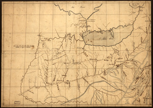
A Map of the western parts of the province of Pennsylvania, Virginia, &c
Library of Congress Collection
See map
A trader's map of the Ohio country before 1753
Library of Congress Collection
See map
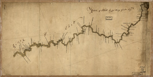
River of Ohio
Library of Congress Collection
See map
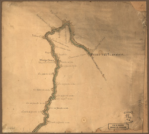
Map of the Ohio River from Fort Pitt
Library of Congress Collection
See map
This map of Kentucke
Library of Congress Collection
See map
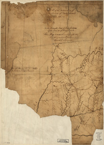
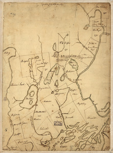
The above plan is a discription of a new township containing the quantity of seven and a half mile of land & water, granted by the General Court to the proprietors of Bakerstown
Library of Congress Collection
See map
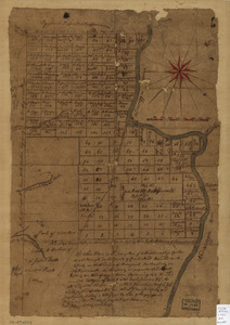
The above plan is a discription of a new township called Royalsborough in the county of Cumberland
Library of Congress Collection
See map
Part of Oxford and Cumberland counties, Me
Library of Congress Collection
See map
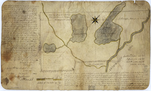
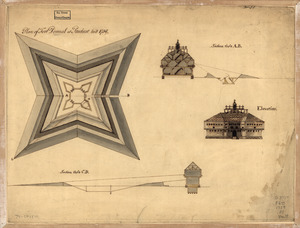
Plan of Fort Pownal at Penobscot built 1759
Library of Congress Collection
See map
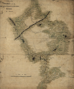
A map of the sources of the Chaudière, Penobscot, and Kennebec rivers
Library of Congress Collection
See map
The Above is a plan of the town of Cabot, State of Vermont
Library of Congress Collection
See map
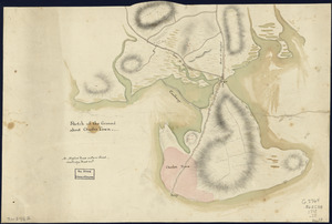
Sketch of the ground about Charles Town
Library of Congress Collection
See map
Showing
745
to
756
of
1647
results
Previous
Next