ARGO Home
Open menu
Stories
Themes
People
Partner Collections
About ARGO
Search
Languages:
French
English
French
German
Latin
Spanish
Carte Nouvellement Releve de La presantation a Frontenac
British Library Collection
See map
[Map showing the location of Fort de la Presentation]
British Library Collection
See map
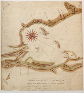
[Sketch map of an unidentified fort]
British Library Collection
See map
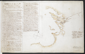
[Sketch map of the St Lawrence River at River Toniata]
British Library Collection
See map
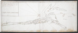
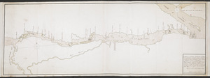
[Sketch map of the St Lawrence River from the Fort de la Présentation to Lake Ontario]
British Library Collection
See map
Nouveau plan du Lac ontario depuis Le fort frontenac jusquà Chouayguin, avec les isles Et Bancs qui y Sont
British Library Collection
See map
Explication d'un Esquis des Côtes depuis Oswego jusques a la Baye de Frontenac, et les environs des Isle qui Sont en l'embouchure de la Riviere St Laurent N.B. toutes ses observations demandent une plus exactes connoisances
British Library Collection
See map
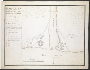
PLAN DE LA RIVIERE ET DES FORTS DE CHVAGEN
British Library Collection
See map
CARTE de la RIVIERE de KATARAKOUI
British Library Collection
See map
[Map showing Fort William Henry, Fort Carillon, Fort St Frederic, and the upper reaches of the Connecticut River]
British Library Collection
See map
[PLAN de Carillon]
British Library Collection
See map
[Map of Fort Carillon]
British Library Collection
See map
Showing
97
to
108
of
353
results
Previous
Next
![[Sketch map of the St Lawrence River from the Fort de la Présentation to Lake Ontario]](https://bpldcassets.blob.core.windows.net/derivatives/images/commonwealth:hx11z1051/image_thumbnail_300.jpg)
![[Map showing Fort William Henry, Fort Carillon, Fort St Frederic, and the upper reaches of the Connecticut River]](https://bpldcassets.blob.core.windows.net/derivatives/images/commonwealth:hx11z1735/image_thumbnail_300.jpg)
![[Map showing the location of Fort de la Presentation]](https://bpldcassets.blob.core.windows.net/derivatives/images/commonwealth:hx11z0993/image_thumbnail_300.jpg)
![[Sketch map of an unidentified fort]](https://bpldcassets.blob.core.windows.net/derivatives/images/commonwealth:hx11z101x/image_thumbnail_300.jpg)
![[Sketch map of the St Lawrence River at River Toniata]](https://bpldcassets.blob.core.windows.net/derivatives/images/commonwealth:hx11z103g/image_thumbnail_300.jpg)
![[PLAN de Carillon]](https://bpldcassets.blob.core.windows.net/derivatives/images/commonwealth:hx11z1778/image_thumbnail_300.jpg)
![[Map of Fort Carillon]](https://bpldcassets.blob.core.windows.net/derivatives/images/commonwealth:hx11z179t/image_thumbnail_300.jpg)