ARGO Home
Open menu
Stories
Themes
People
Partner Collections
About ARGO
Search
Subject:
Borders
Borders
Indigenous Peoples
Roads and Routes
Houses and Property
Military
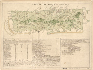
A Plan of the island of Porto Rico
Library of Congress Collection
See map
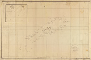
Carta esférica de la Ysla de Tabago
Library of Congress Collection
See map
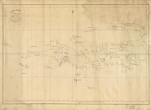
Carta esférica que comprehende la Ysla de Trinidad con sus adyacentes, bajos, sondas y veriles
Library of Congress Collection
See map
Carta esférica de las Yslas Virgenes
Library of Congress Collection
See map
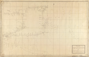
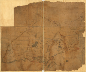
A Plan of the late Province of Main as far as Kennebeck River
Library of Congress Collection
See map
An accurate map of His Majesty's Province of New-Hampshire in New England & all the adjacent country northward to the River St. Lawrence, & eastward to Penobscot Bay
Library of Congress Collection
See map
A map containing part of the Provinces of New York and New Jersey
Library of Congress Collection
See map
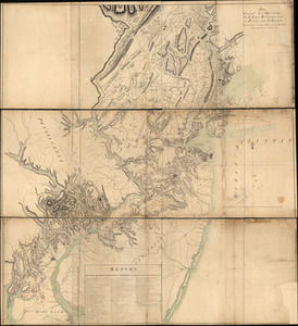
Plan general des operations de l'Armée Britanique contre les rebelles dans l'Amerique
Library of Congress Collection
See map
A plan of the division line between the provinces of New-York and Quebec
Library of Congress Collection
See map
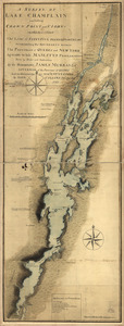
A survey of Lake Champlain including Crown Point and St. Iohn's
Library of Congress Collection
See map
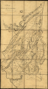
Map of the northern parts of New York
Library of Congress Collection
See map
N.W. parts of New York, no. 156
Library of Congress Collection
See map
Showing
265
to
276
of
704
results
Previous
Next