ARGO Home
Open menu
Stories
Themes
People
Partner Collections
About ARGO
Search
Subject:
Borders
Borders
Indigenous Peoples
Roads and Routes
Houses and Property
Military
The West Indies,
Maps from AAS
See map
West Indies,
Maps from AAS
See map
Les Isles Antilles et le Golfe du Méxique
Maps from AAS
See map
An accurate map of the West Indies,
Maps from AAS
See map
An accurate map of the West Indies
Maps from AAS
See map
The Windward Passage, with the several passages from the east end of Cuba
Maps from AAS
See map
Map of the European settlements in the West Indies
Maps from AAS
See map
A new and correct map of the American islands, now called the West Indies,
Maps from AAS
See map
An accurate map of the West Indies with the adjacent coast of America
Maps from AAS
See map
Carte d'une partie de l'Amérique Septentrionale
Boston Athenaeum, Cartographic Collection
See map
Carte de la Nouvelle Angleterre, Nouvelle Yorck, et Pensilvanie
Boston Athenaeum, Cartographic Collection
See map
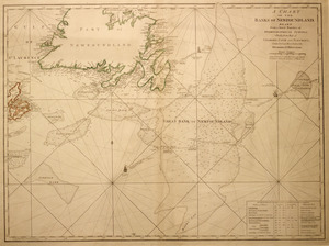
A chart of the Banks of Newfoundland
Boston Athenaeum, Cartographic Collection
See map
Showing
469
to
480
of
704
results
Previous
Next