ARGO Home
Open menu
Stories
Themes
People
Partner Collections
About ARGO
Search
Subject:
Borders
Borders
Indigenous Peoples
Roads and Routes
Houses and Property
Military
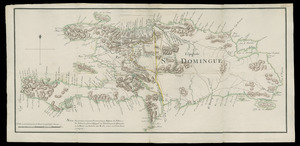
I. de St. Domingue
Newberry Library Collection
See map
Plan of the peninsula of Chesopeak [sic] Bay
Newberry Library Collection
See map
Carte d'un partie de l'Amerique Septentrionale
Newberry Library Collection
See map
Barbadoes
Newberry Library Collection
See map
Ysla de Cuba
Newberry Library Collection
See map
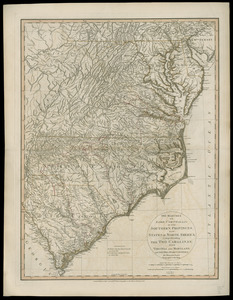
The marches of Lord Cornwallis in the Southern Provinces, now states of North America
Newberry Library Collection
See map
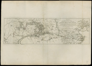
A plan of part of the provinces of Pennsylvania, and East & West New Jersey
Newberry Library Collection
See map
Carte du Cap Franc̨ois de Saint Domingue, de l'isle de Cuba, de la Jamaique avec le canal de Bahama, l'entrée du fleuve St. Louis, et le pays de la Louisiane et les isles adjacentes, le tout depuis 16 degres de latitude jusqu'a trente six
Newberry Library Collection
See map
Copia, del mapa de las Indias Occidentales
Newberry Library Collection
See map
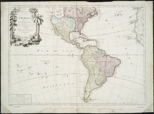
L'Amerique
New York Public Library Collection
See map
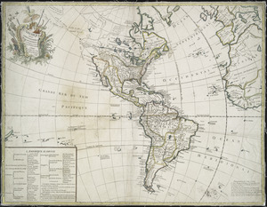
L'Amerique
New York Public Library Collection
See map
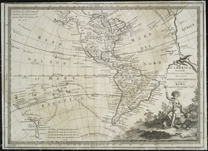
L'America secondo leultime osservazioni divisa né suoistati principali
New York Public Library Collection
See map
Showing
505
to
516
of
704
results
Previous
Next

![Plan of the peninsula of Chesopeak [sic] Bay](https://bpldcassets.blob.core.windows.net/derivatives/images/commonwealth:z603vn14c/image_thumbnail_300.jpg)