ARGO Home
Open menu
Stories
Themes
People
Partner Collections
About ARGO
Search
Subject:
Borders
Borders
Indigenous Peoples
Roads and Routes
Houses and Property
Military
Canada, Louisiane et terres angloises
New York Public Library Collection
See map
Canada, Louisiane et terres angloises
New York Public Library Collection
See map
Canada, Louisiane et terres angloises
New York Public Library Collection
See map
A new and accurate map of the English empire in North America
New York Public Library Collection
See map
A Map of the British and French settlements in North America
New York Public Library Collection
See map
The provinces of New York, and New Jersey; with part of Pensilvania, and the governments of Trois Rivières, and Montreal
New York Public Library Collection
See map
A Map of the British and French settlements in North America
New York Public Library Collection
See map
A map of the British colonies in North America
New York Public Library Collection
See map
L'Amérique septentrionale
New York Public Library Collection
See map
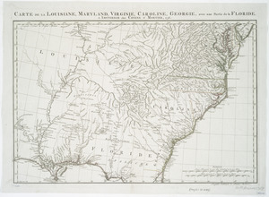
Carte de la Louisiane, Maryland, Virginie, Caroline, Georgie, avec une partie de la Floride
New York Public Library Collection
See map
An accurate map of the British Empire in Nth. America as settled by the preliminaries in 1762
New York Public Library Collection
See map
An accurate map of the British, French & Spanish settlements in Nth. America and the West Indies
New York Public Library Collection
See map
Showing
529
to
540
of
704
results
Previous
Next