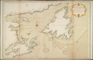
Golphe de Saint Laurent, contenant l'Isle de Terreneuve, Detroit de Belle-Isle, entrée du Fleuve St. Laurent, Isle Royale, et partie de l'Acadie, & ca.
By order of His Excellency Guy Lord Dorchester... plan of part of the province of Lower Canada containing the country from the river Montmorency near Quebec... to St. Regis on the Rr. St. Lawrence, and to the township of Buckingham on the Rr. Ottawa...
A plan of part of the province of New Brunswick, with the adjacent parts of the province of Lower Canada, and the territory of the United States of America
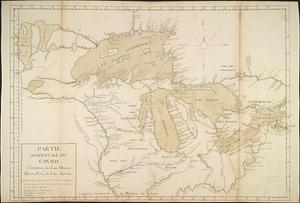
A map of part of Canada for the use of His Majesty's Secretary of State, compiled in the Surveyor Generals Office, pursuant to an Order in Council of the 22nd day of February 1790