ARGO Home
Open menu
Stories
Themes
People
Partner Collections
About ARGO
Search
Subject:
Houses and Property
Borders
Indigenous Peoples
Roads and Routes
Houses and Property
Military
A map of the colonies of Connecticut and Rhode Island, divided into counties & townships, from the best authorities
Norman B. Leventhal Map & Education Center Collection
See map
The River St. John
Norman B. Leventhal Map & Education Center Collection
See map
The isthmus of Nova Scotia
Norman B. Leventhal Map & Education Center Collection
See map
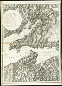
[Chignecto Bay and vicinity]
Norman B. Leventhal Map & Education Center Collection
See map
Annapolis Royal ...
Norman B. Leventhal Map & Education Center Collection
See map
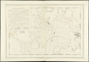
[Southwest coast of Nova Scotia from Cape Sable to Cape St. Mary]
Norman B. Leventhal Map & Education Center Collection
See map
Barrington Bay
Norman B. Leventhal Map & Education Center Collection
See map
Port Mills
Norman B. Leventhal Map & Education Center Collection
See map
Liverpool Bay
Norman B. Leventhal Map & Education Center Collection
See map
Port Jackson
Norman B. Leventhal Map & Education Center Collection
See map
King's Bay ...
Norman B. Leventhal Map & Education Center Collection
See map
Mecklenburgh Bay
Norman B. Leventhal Map & Education Center Collection
See map
Showing
157
to
168
of
967
results
Previous
Next

![[Southwest coast of Nova Scotia from Cape Sable to Cape St. Mary]](https://bpldcassets.blob.core.windows.net/derivatives/images/commonwealth:9g54xk749/image_thumbnail_300.jpg)

![[Chignecto Bay and vicinity]](https://bpldcassets.blob.core.windows.net/derivatives/images/commonwealth:9g54xk66m/image_thumbnail_300.jpg)