ARGO Home
Open menu
Stories
Themes
People
Partner Collections
About ARGO
Search
Subject:
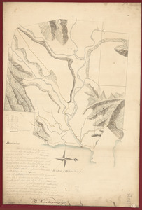
Houses and Property
Borders
Indigenous Peoples
Roads and Routes
Houses and Property
Military
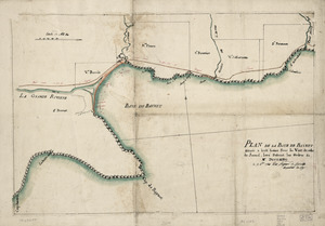
Plan de la Baye de Baynet
Library of Congress Collection
See map
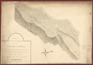
A plan of that part of the Rosalij Estate called the Grand Fonds
Library of Congress Collection
See map
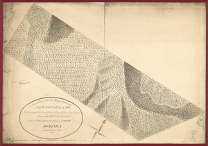
A plan of that part of the Rosalij Estate call'd New-Found-Land
Library of Congress Collection
See map
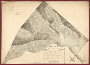
A plan of that part of the Rosalij Estate called Rosalij Valley
Library of Congress Collection
See map
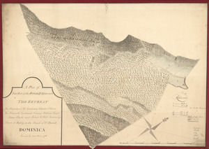
A plan of that part of the Rosalij Estate call'd the Retreat
Library of Congress Collection
See map
A plan of the Rosalij Compy. Estates showing the impracticable lands
Library of Congress Collection
See map
Plan de la retraite de Barren Hill en Pensilvanie
Library of Congress Collection
See map
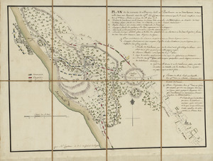
Plan of Carillon ou [sic] Ticonderoga
Library of Congress Collection
See map
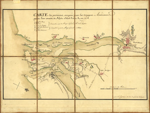
Carte des positions occupeés par les trouppes Américaines apres leur retraite de Rhode Island le 30 Aout 1778
Library of Congress Collection
See map
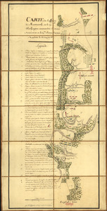
Carte de l'affaire de Montmouth
Library of Congress Collection
See map
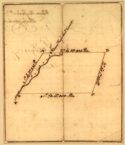
Plat of a survey for William Hughes, Jr. of 460 acres in Frederick County, Va. on the Cacapon River
Library of Congress Collection
See map
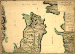
Plan of the fort and fortress at Crown Point with their environs
Library of Congress Collection
See map
Showing
493
to
504
of
967
results
Previous
Next
![Plan of Carillon ou [sic] Ticonderoga](https://bpldcassets.blob.core.windows.net/derivatives/images/commonwealth:q524nk513/image_thumbnail_300.jpg)