A map of Potomack and James rivers in North America shewing their several communications with the navigable waters of the new province on the river Ohio
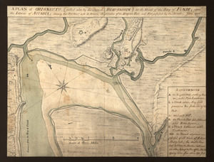
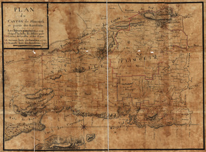
A plan of Chignecto (called also by the French Beau-Bassin) at the head of the Bay of Fundi upon the Istmus of Accadia shewing that harbour with its rivers, the situation of the English fort and fort possessed by the French, June 1755
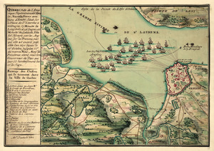
Qubbec, ville de l'Amerique septentrionale dans la Nouvelle France avec titre d'Eveché située sur le fleuve de St. Laurens a 310 degrez 17 minutes de longitude et 46 degrez 55 minutes de latitude
![A Plan of the entrance of Chesapeak [sic] Bay, with James and York Rivers](https://bpldcassets.blob.core.windows.net/derivatives/images/commonwealth:q524nf233/image_thumbnail_300.jpg)
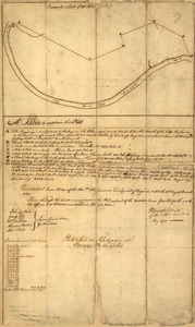
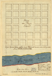
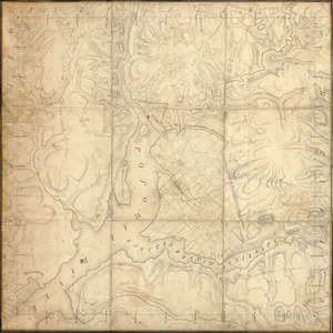
![Copy of a survey return'd by Mr. Sam Lewis, surveyor of Botetourt Coun[t]y](https://bpldcassets.blob.core.windows.net/derivatives/images/commonwealth:q524nf40r/image_thumbnail_300.jpg)