ARGO Home
Open menu
Stories
Themes
People
Partner Collections
About ARGO
Search
Subject:
Military
Borders
Indigenous Peoples
Roads and Routes
Houses and Property
Military
Savannah & its fortifications
Library of Congress Collection
See map
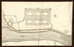
Plan of Savannah and its fortifications in 1782
Library of Congress Collection
See map
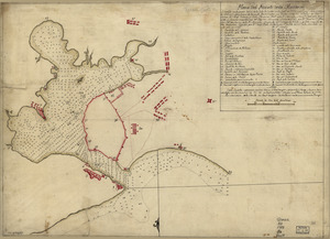
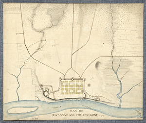
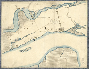
Plan of Savannah and its environs in 1782
Library of Congress Collection
See map
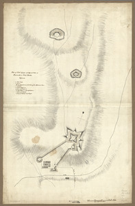
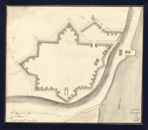
Ft. Provost in 1781
Library of Congress Collection
See map
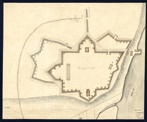
Fort Provost in 1782
Library of Congress Collection
See map
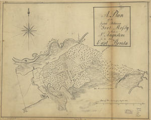
A plan of the land between Fort Mossy and St. Augustine in the province of East Florida
Library of Congress Collection
See map
St. Augustine and its environs
Library of Congress Collection
See map
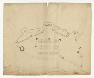
Plan of Fort George and adjacent works at Pensacola in West Florida
Library of Congress Collection
See map
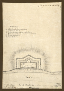
Bay of Pensacola, fortification
Library of Congress Collection
See map
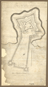
Plan of Fort George at Pensacola
Library of Congress Collection
See map
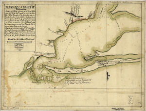
Plano de la bahia de Pansacola
Library of Congress Collection
See map
Plano del puerto de la Havana, situado en la parte del N. de la ysla de Cuba en la lattd. de 23⁰10ʹ y en longd. astronómica de 293⁰47ʹ, meridiano de Tenerife ... el año de 1783 por Dn. Josef de Sn. Martin, the. de Navio de la Rl. Armada
Library of Congress Collection
See map
Showing
529
to
540
of
876
results
Previous
Next