ARGO Home
Open menu
Stories
Themes
People
Partner Collections
About ARGO
Search
Subject:
Military
Borders
Indigenous Peoples
Roads and Routes
Houses and Property
Military
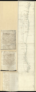
Map of Queens Village or Lloyd Neck in Queens County on the north side of Long Island in the Province (now State) of New York. Situated near the parallel of 41 degrees north lattitude
Library of Congress Collection
See map
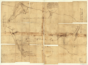
Position du camp de l'armée combinée a Philipsburg du 6 juillet au 19 aoust
Library of Congress Collection
See map
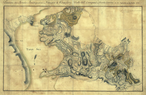
Position des Armées amériquaine et françoise à Kings-ferry, Peaks-hill, Crompond et Hunts-taverne
Library of Congress Collection
See map
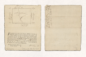
Survey of lot no. 121 in district no.7
Library of Congress Collection
See map
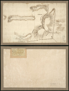
Plan of Genl Du Portail
Library of Congress Collection
See map
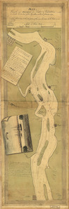
Plan of part of the River Delaware from Chester to Philadelphia
Library of Congress Collection
See map
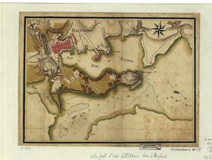
Ville, port, et rade de Baltimore dans le Maryland
Library of Congress Collection
See map
Armée de Rochambeau, 1782
Library of Congress Collection
See map
Plan d'York en Virginie avec les attaques faites par les Armées françoise et américaine en 8bre. 1781
Library of Congress Collection
See map
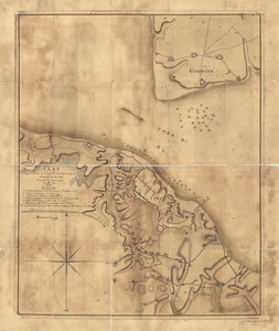
Roads and country that Col. Campbell marched thro'--Ebenezer to Augusta in Georgia
Library of Congress Collection
See map
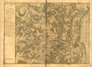
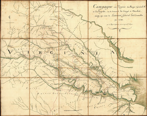
Campagne en Virginie du Major Général M'is de LaFayette
Library of Congress Collection
See map
A survey of the city of Philadelphia and its environs
Library of Congress Collection
See map
Showing
613
to
624
of
876
results
Previous
Next