ARGO Home
Open menu
Stories
Themes
People
Partner Collections
About ARGO
Search
Subject:
Military
Borders
Indigenous Peoples
Roads and Routes
Houses and Property
Military
Fort on Dorc̃ester Point
Library of Congress Collection
See map
[Rough draught of Boston and harbour]
Library of Congress Collection
See map
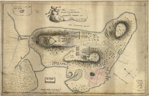
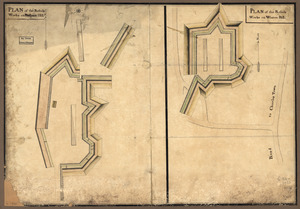
A Plan oe [i.e. of] the British lines on Boston Neck in August 1775
Library of Congress Collection
See map
[Plan of the Neck and environs]
Library of Congress Collection
See map
Plan of the rebels works on Prospect-Hill
Library of Congress Collection
See map
[Rough draft of Charlestown, in water colour]
Library of Congress Collection
See map
Plan of the heights of Charles Town, &c
Library of Congress Collection
See map
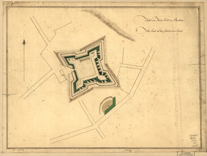
Fort on Fort Hill in Boston
Library of Congress Collection
See map
Boston, its environs and harbour
Library of Congress Collection
See map
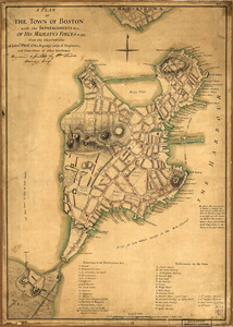
A plan of the town of Boston with the intrenchments &ca. of His Majesty's forces in 1775
Library of Congress Collection
See map
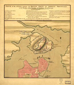
Sketch of the action between the British forces and American provincials, on the heights of the peninsula of Charlestown
Library of Congress Collection
See map
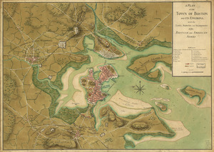
A plan of the town of Boston and its environs, with the lines, batteries, and incampments of the British and American armies
Library of Congress Collection
See map
Showing
709
to
720
of
876
results
Previous
Next
![A Plan oe [i.e. of] the British lines on Boston Neck in August 1775](https://bpldcassets.blob.core.windows.net/derivatives/images/commonwealth:z603vj41n/image_thumbnail_300.jpg)

![[Rough draught of Boston and harbour]](https://bpldcassets.blob.core.windows.net/derivatives/images/commonwealth:z603vj39m/image_thumbnail_300.jpg)
![[Plan of the Neck and environs]](https://bpldcassets.blob.core.windows.net/derivatives/images/commonwealth:z603vj436/image_thumbnail_300.jpg)
![[Rough draft of Charlestown, in water colour]](https://bpldcassets.blob.core.windows.net/derivatives/images/commonwealth:z603vj49v/image_thumbnail_300.jpg)