ARGO Home
Open menu
Stories
Themes
People
Partner Collections
About ARGO
Search
Subject:
Roads and Routes
Borders
Indigenous Peoples
Roads and Routes
Houses and Property
Military
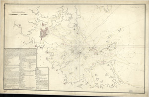
Boston Harbor, Massachusetts
Library of Congress Collection
See map
Boston & harbour
Library of Congress Collection
See map
Puerto del Boston
Library of Congress Collection
See map
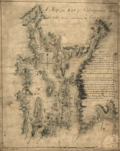
A map of the bay of Narraganset with the islands therein and part of the country adjacent
Library of Congress Collection
See map
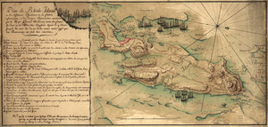
Plan de Rhode Island et les differentes operations de la flotte-françoises et des troupes americaines
Library of Congress Collection
See map
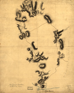
Gov. Tryon's expedition to Danbury, 1777
Library of Congress Collection
See map
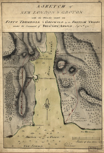
A sketch of New London & Groton with the attacks made on Forts Trumbull & Griswold by the British troops
Library of Congress Collection
See map
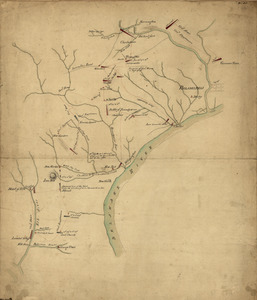
Map of the country between and bordering the Delaware River and Chesapeake Bay
Library of Congress Collection
See map
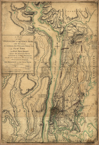
A plan of the operations of the King's army
Library of Congress Collection
See map
Operations of the British army, from the 25th August to 26th Sept. 1777
Library of Congress Collection
See map
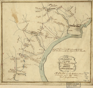
Progress of the army from their landing till taking possession of Philadelphia
Library of Congress Collection
See map
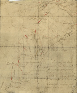
This is not given as an accurate map, but only to afford an idea of the progress of the army from the landing at Elk to the taking of possession of Philadelphia
Library of Congress Collection
See map
Showing
457
to
468
of
1113
results
Previous
Next