ARGO Home
Open menu
Stories
Themes
People
Partner Collections
About ARGO
Search
Subject:
Roads and Routes
Borders
Indigenous Peoples
Roads and Routes
Houses and Property
Military
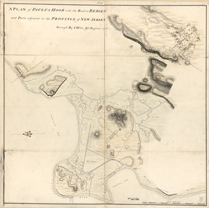
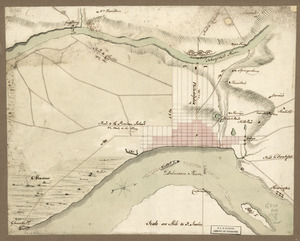
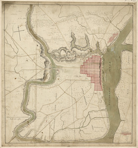
A plan of Paulus Hook with the road to Bergen and parts adjacent in the province of New Jersey
Library of Congress Collection
See map
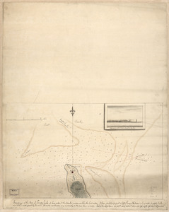
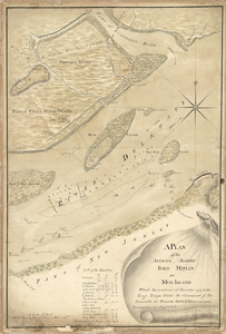
Soundings of the bar of Sandy Hook at low water & the marks made use of for the best water
Library of Congress Collection
See map
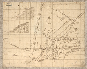
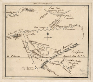
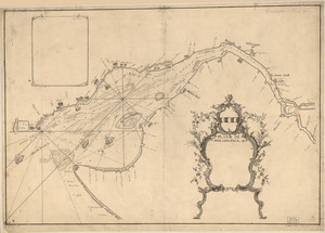
Captain Snow's sketch
Library of Congress Collection
See map
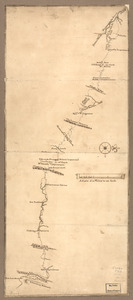
Mr. Armstrong's rough draft of the country to the west of Susquehanna
Library of Congress Collection
See map
Map of a route through south west Pennsylvania from Fort Loudon, Franklin Co. to Fort Pitt, Pittsburgh
Library of Congress Collection
See map
Philadelphia and vicinity. Military
Library of Congress Collection
See map
Philadelphia and neighborhood
Library of Congress Collection
See map
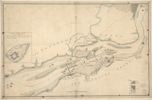
A plan of the attacks against Fort Miflin on Mud Island
Library of Congress Collection
See map
Plano de Philadelphia
Library of Congress Collection
See map
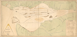
A draught of Delaware Bay
Library of Congress Collection
See map
The course of Delaware River from Philadelphia to Chester, exhibiting the several works erected by the rebels to defend its passage
Library of Congress Collection
See map
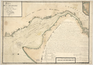
Baye de la Delaware avec les ports, sondes, dangers, bancs, &c. depuis les caps jusqu'a Philadelphie
Library of Congress Collection
See map
Showing
505
to
516
of
1113
results
Previous
Next