ARGO Home
Open menu
Stories
Themes
People
Partner Collections
About ARGO
Search
Features:
Manuscript
Animal
Cartouche
Printed
Hand Coloring
Manuscript
Surveys
Atlas
Non-Map
Views
Marginalia
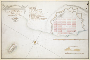
PROJECT for Fortifying the Town of HALLIFAX ; in NOVA SCOTIA
British Library Collection
See map
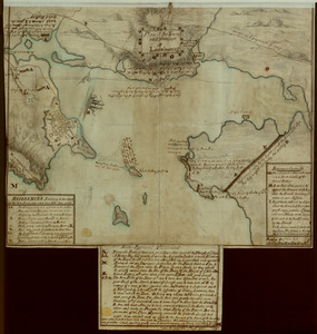
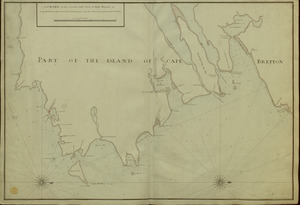
[A manuscript map of Isle Royalle]
British Library Collection
See map
A CHART of the South East Part of l'Isle Royal, or Cape Bretton taken from the best Surveys, and the Observations of the most able Pilots
British Library Collection
See map
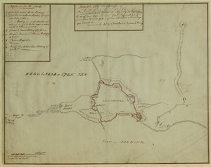
[An outline plan of the harbour and fortifications of Louisbourg]
British Library Collection
See map
Plan of the Town and Harbour of Louisbourg
British Library Collection
See map
Plan of the City and Fortress of LOUISBOURG Surrendered to his Britanick Majesty by Capitulation the 17 June 1745. to Lieut. Genl. Pepperel and Commodore Warren after 55 Days Blockade and 42 days open Trenches
British Library Collection
See map
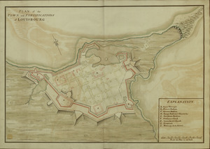
PLAN of the TOWN and FORTIFICATIONS of LOUISBOURG
British Library Collection
See map
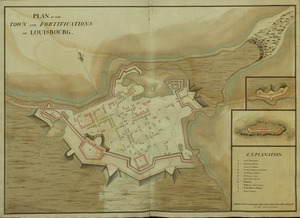
PLAN of the TOWN and FORTIFICATIONS of LOUISBOURG
British Library Collection
See map
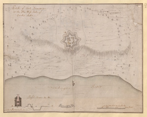
Fort Edward
British Library Collection
See map
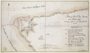
Plan of Fort du Quesne, now Pitsburgh, as it was, before it was Demolish'd
British Library Collection
See map
Sketch of Fort Brewerton at the The West End of Onide Lake
British Library Collection
See map
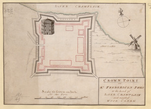
CROWN POINT or ST. FREDERICK'S FORT at the head of LAKE CHAMPLAIN and the Mouth of WOOD CREEK
British Library Collection
See map
Showing
313
to
324
of
946
results
Previous
Next
![[A manuscript map of Isle Royalle]](https://bpldcassets.blob.core.windows.net/derivatives/images/commonwealth:hx11z507d/image_thumbnail_300.jpg)
![[An outline plan of the harbour and fortifications of Louisbourg]](https://bpldcassets.blob.core.windows.net/derivatives/images/commonwealth:hx11z5128/image_thumbnail_300.jpg)