ARGO Home
Open menu
Stories
Themes
People
Partner Collections
About ARGO
Search
Features:
Manuscript
Animal
Cartouche
Printed
Hand Coloring
Manuscript
Surveys
Atlas
Non-Map
Views
Marginalia
New York Island
Library of Congress Collection
See map
A tracing relating to Fort Washington or Knyphausen
Library of Congress Collection
See map
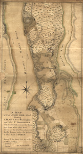
A map of part of New-York Island showing a plan of Fort Washington
Library of Congress Collection
See map
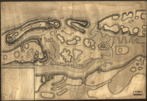
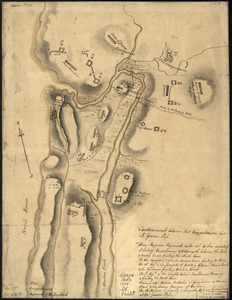
Map of defenses of New York Island from Fort Washington to Fort Independence, with redoubts, etc. planned between
Library of Congress Collection
See map
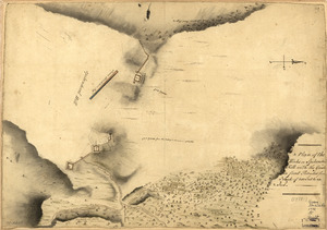
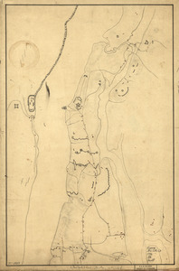
Sketth [sic] of the Hessian attack on Fort Washington under General Knypehausen on the 16th November 1776
Library of Congress Collection
See map
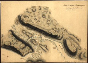
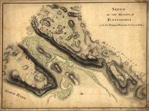
Sketch of the Heights of Kingsbridge 1777, with the proposed redoubts coloured orange
Library of Congress Collection
See map
Sketch of the Heights of Kingsbridge, with the proposed redouts couloured yellow
Library of Congress Collection
See map
Disposition of British troops, with fortifications north of Fort Knipehausen, i.e. Fort Washington to Fort Independence
Library of Congress Collection
See map
A Plan of the works on Spikendevil Hill with the ground in front, protracted from a scale of 200 feet to an inch
Library of Congress Collection
See map
Skecth [sic] of the road from Kings Bridge to White Plains
Library of Congress Collection
See map
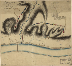
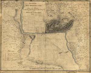
Position of the detachment under Lieut't Col. Baum & attacks of the enemy on the 16th August at Walmscock near Benington, 1777
Library of Congress Collection
See map
Position of the army on the 8th Octbr. 1777
Library of Congress Collection
See map
Showing
409
to
420
of
946
results
Previous
Next
![Sketth [sic] of the Hessian attack on Fort Washington under General Knypehausen on the 16th November 1776](https://bpldcassets.blob.core.windows.net/derivatives/images/commonwealth:q524n878n/image_thumbnail_300.jpg)

![Skecth [sic] of the road from Kings Bridge to White Plains](https://bpldcassets.blob.core.windows.net/derivatives/images/commonwealth:q524n8895/image_thumbnail_300.jpg)