ARGO Home
Open menu
Stories
Themes
People
Partner Collections
About ARGO
Search
Languages:
English
English
French
German
Latin
Spanish
ROAD OF COUDRE
British Library Collection
See map
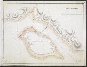
[Island of Coudre]
British Library Collection
See map
[Part of the Island of Orleans and the Saint Lawrence River]
British Library Collection
See map
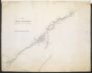
A Plan of the RIVER S.T LAURENCE from Lake Ontario to the Island Orleans
British Library Collection
See map
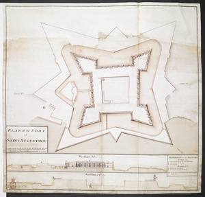
PLAN of the FORT at SAINT AUGUSTINE
British Library Collection
See map
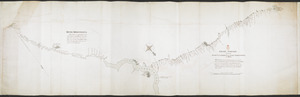
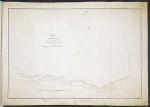
[Chart of the Saint Lawrence River from Anticosti to Quebec]
British Library Collection
See map
GRAND PORTAGE from the RIVER S.T LAURENCE to the LAKE TEMESCOUATA, 35 Miles
British Library Collection
See map
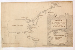
SKETCH OF THE RIVER S.T LAWRENCE From LAKE ONTARIO to MONTREAL by AN ONONDAGA INDIAN
British Library Collection
See map
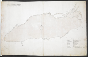
PLAN OF LAKE ONTARIO Copied and inlarged from a French Original, the North Shore corrected in some places, likewise the South from Oswego to Niagara by a Sketh of Cap. Sowers
British Library Collection
See map
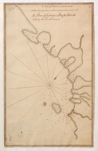
A Plan of George's Bay & Islands Call'd by the French I. du quinto
British Library Collection
See map
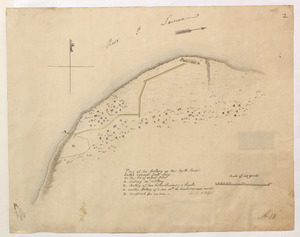
Plan of the Battery on the South Shore Erected against Fort Levy on the 21. of August 1760
British Library Collection
See map
PLAN of the COMMUNICATION from TOWNSHIP No 8 to CATARAQUI as Surveyed by M.r Louis Kott Dep.t Prov.l Surv
British Library Collection
See map
Showing
445
to
456
of
1647
results
Previous
Next
![[Island of Coudre]](https://bpldcassets.blob.core.windows.net/derivatives/images/commonwealth:hx11z0658/image_thumbnail_300.jpg)
![[Part of the Island of Orleans and the Saint Lawrence River]](https://bpldcassets.blob.core.windows.net/derivatives/images/commonwealth:hx11z067t/image_thumbnail_300.jpg)
![[Chart of the Saint Lawrence River from Anticosti to Quebec]](https://bpldcassets.blob.core.windows.net/derivatives/images/commonwealth:hx11z079m/image_thumbnail_300.jpg)