ARGO Home
Open menu
Stories
Themes
People
Partner Collections
About ARGO
Search
Languages:
English
English
French
German
Latin
Spanish
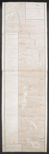
[A map showing the post route between the River St. Lawrence and the Bay of Fundy]
British Library Collection
See map
[A map showing the post route between the River St. Lawrence and the Bay of Fundy]
British Library Collection
See map
A MAP OF THE SURVEYED PARTS OF NOVA SCOTIA MDCCLVI
British Library Collection
See map
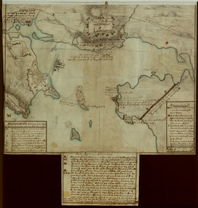
A Plan Of the River of Chibenaccadie from its Source To its Discharge into the Bay of Mines Surveyed in August 1754
British Library Collection
See map
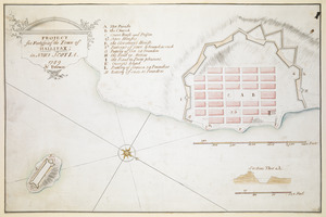
PROJECT for Fortifying the Town of HALLIFAX ; in NOVA SCOTIA
British Library Collection
See map
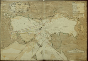
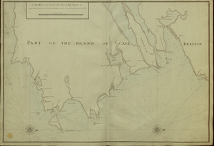
[A manuscript map of Isle Royalle]
British Library Collection
See map
A CHART of the South East Part of l'Isle Royal, or Cape Bretton taken from the best Surveys, and the Observations of the most able Pilots
British Library Collection
See map
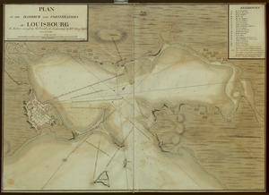
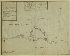
[An outline plan of the harbour and fortifications of Louisbourg]
British Library Collection
See map
A PLAN OF THE HARBOUR AND FORTIFICATIONS OF LOUISBOURG
British Library Collection
See map
A PLAN OF THE HARBOUR AND FORTIFICATIONS OF LOUISBOURG
British Library Collection
See map
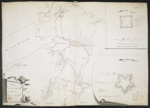
Plan of the Town and Harbour of Louisbourg
British Library Collection
See map
Plan of the City and Fortress of LOUISBOURG Surrendered to his Britanick Majesty by Capitulation the 17 June 1745. to Lieut. Genl. Pepperel and Commodore Warren after 55 Days Blockade and 42 days open Trenches
British Library Collection
See map
Showing
625
to
636
of
1647
results
Previous
Next
![[A map showing the post route between the River St. Lawrence and the Bay of Fundy]](https://bpldcassets.blob.core.windows.net/derivatives/images/commonwealth:hx11z4963/image_thumbnail_300.jpg)
![[A map showing the post route between the River St. Lawrence and the Bay of Fundy]](https://bpldcassets.blob.core.windows.net/derivatives/images/commonwealth:hx11z498n/image_thumbnail_300.jpg)
![[A manuscript map of Isle Royalle]](https://bpldcassets.blob.core.windows.net/derivatives/images/commonwealth:hx11z507d/image_thumbnail_300.jpg)
![[An outline plan of the harbour and fortifications of Louisbourg]](https://bpldcassets.blob.core.windows.net/derivatives/images/commonwealth:hx11z5128/image_thumbnail_300.jpg)