ARGO Home
Open menu
Stories
Themes
People
Partner Collections
About ARGO
Search
Languages:
English
English
French
German
Latin
Spanish
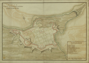
PLAN of the TOWN and FORTIFICATIONS of LOUISBOURG
British Library Collection
See map
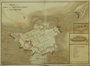
PLAN of the TOWN and FORTIFICATIONS of LOUISBOURG
British Library Collection
See map
Fort Edward
British Library Collection
See map
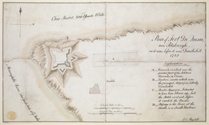
Plan of Fort du Quesne, now Pitsburgh, as it was, before it was Demolish'd
British Library Collection
See map
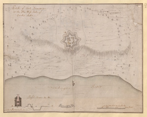
Sketch of Fort Brewerton at the The West End of Onide Lake
British Library Collection
See map
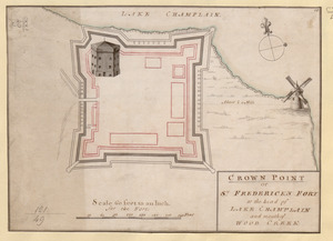
CROWN POINT or ST. FREDERICK'S FORT at the head of LAKE CHAMPLAIN and the Mouth of WOOD CREEK
British Library Collection
See map
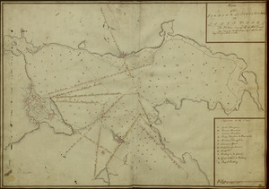
[A map of Fort Carillon and environs]
British Library Collection
See map
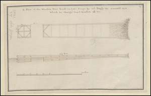
A Plan of the Wooden Peer built in Lake George by Col. Bagly in novemb:r 1756 Which he charged Genr:l Winslow 60:L for
British Library Collection
See map
Plan of the HARBOUR and FORTIFICATIONS OF LOUISBOURG
British Library Collection
See map
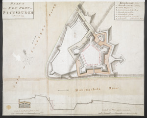
PLAN of the NEW FORT at PITSBURGH November 1759
British Library Collection
See map
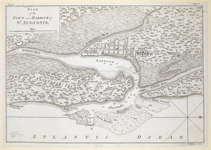
PLAN of the TOWN and HARBOUR of S.T AUGUSTIN
British Library Collection
See map
A MAP of the BRITISH COLONIES in North America
British Library Collection
See map
Showing
637
to
648
of
1647
results
Previous
Next

![[A map of Fort Carillon and environs]](https://bpldcassets.blob.core.windows.net/derivatives/images/commonwealth:hx11z538d/image_thumbnail_300.jpg)