ARGO Home
Open menu
Stories
Themes
People
Partner Collections
About ARGO
Search
Languages:
English
English
French
German
Latin
Spanish
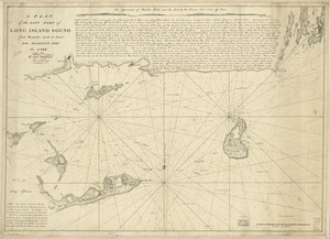
A plan of the east part of Long Island Sound
Library of Congress Collection
See map
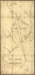
The State of New Jersey
Library of Congress Collection
See map
New York & New Jersey commissioners line from 41⁰ on Hudson's River taken in 1769
Library of Congress Collection
See map
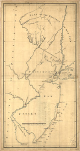
Lines run in the Jersies for determining boundaries between that Province & New York
Library of Congress Collection
See map
Map showing the west shore of the North or Hudson River
Library of Congress Collection
See map
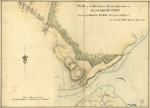
Plan of the road from Elizabeth Town Point to Elizabeth Town
Library of Congress Collection
See map
Amboy to Elizabethtown
Library of Congress Collection
See map
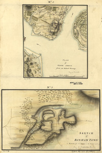
Plan of Perth Amboy from an actual survey. Sketch of Bonham Town
Library of Congress Collection
See map
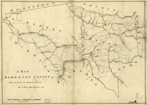
A map, Somerset County
Library of Congress Collection
See map
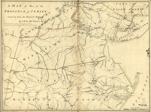
A map of part of the province of Jersey
Library of Congress Collection
See map
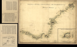
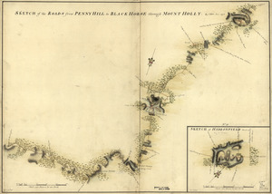
Sketch of Haddonfield. Sketch of the road from Penny Hill to Black Horse through Mount Holly, 1778
Library of Congress Collection
See map
Sketch of Haddonfield, March 1778
Library of Congress Collection
See map
Showing
817
to
828
of
1647
results
Previous
Next