ARGO Home
Open menu
Stories
Themes
People
Partner Collections
About ARGO
Search
Languages:
English
English
French
German
Latin
Spanish
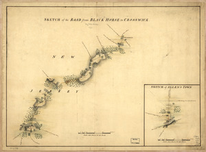
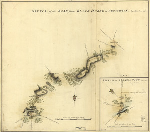
Sketch of the road from Black Horse to Crosswick. Sketch of Allen's Town
Library of Congress Collection
See map
Sketch of the road from Black Horse to Crosswick
Library of Congress Collection
See map
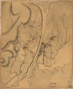
Map of the environs of Camden, N.J
Library of Congress Collection
See map
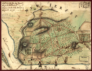
Draft of roads in New Jersey
Library of Congress Collection
See map
Plan of the country at and in the vicinity of Forts Lee and Independency, showing the position of the British Army
Library of Congress Collection
See map
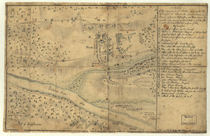
Sketch of the engagement at Trenton
Library of Congress Collection
See map
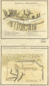
Sketch of Brunswick
Library of Congress Collection
See map
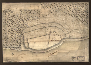
Red Banke
Library of Congress Collection
See map
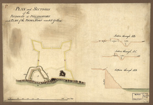
Plan and sections of the redoubt at Billingsfort and plan of the rebel fort marked yellow
Library of Congress Collection
See map
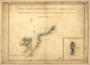
Sketch of part of the road from Freehold to Middle Town
Library of Congress Collection
See map
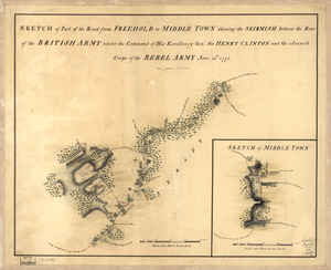
Sketch of part of the road from Freehold to Middle Town
Library of Congress Collection
See map
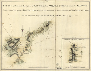
Sketch of part of the road from Freehold to Middle Town
Library of Congress Collection
See map
Showing
829
to
840
of
1647
results
Previous
Next