ARGO Home
Open menu
Stories
Themes
People
Partner Collections
About ARGO
Search
Subject:
Military
Borders
Indigenous Peoples
Roads and Routes
Houses and Property
Military
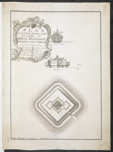
PLAN ELEVATION SECTION and PROFILE of ye ROYAL BLOCKHOUSE OPPOSITE FORT EDWARD
British Library Collection
See map
PLAN OF FORT STANWIX AT THE ONNIDE STATION Done by a Scale of 150 Feet to one Inch
British Library Collection
See map
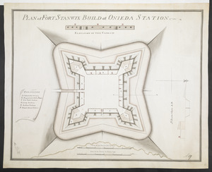
PLAN of FORT STANWIX BUILD at ONIEDA STATION 1758
British Library Collection
See map
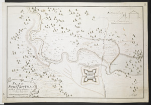
PLAN OF FORT NEW-PORT with ye Situation done by a Scale 100 feet to one Inch
British Library Collection
See map
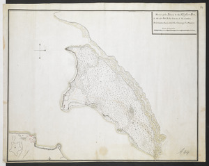
[Map showing rivers and forts in North America]
British Library Collection
See map
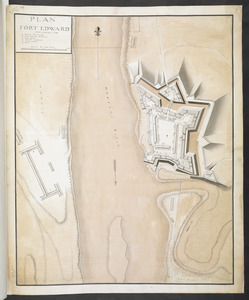
PLAN FORT EDWARD
British Library Collection
See map
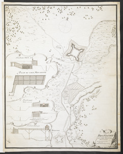
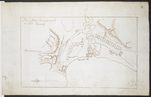
Plan of the Incampement at Fort Edward
British Library Collection
See map
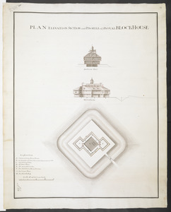
PLAN ELEVATION SECTION and PROFILE of ye ROYAL BLOCKHOUSE
British Library Collection
See map
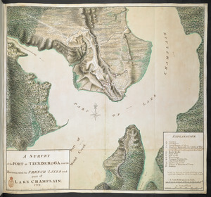
A SURVEY of the FORT at TIENDEROGA and its Environs, with the FRENCH LINES and part of LAKE CHAMPLAIN 1759
British Library Collection
See map
[PLAN de Carillon]
British Library Collection
See map
[Map of Fort Carillon]
British Library Collection
See map
Sketch of the Isthmus to the NE of Crown Point
British Library Collection
See map
Showing
217
to
228
of
876
results
Previous
Next
![[Map showing rivers and forts in North America]](https://bpldcassets.blob.core.windows.net/derivatives/images/commonwealth:hx11z163x/image_thumbnail_300.jpg)
![[PLAN de Carillon]](https://bpldcassets.blob.core.windows.net/derivatives/images/commonwealth:hx11z1778/image_thumbnail_300.jpg)
![[Map of Fort Carillon]](https://bpldcassets.blob.core.windows.net/derivatives/images/commonwealth:hx11z179t/image_thumbnail_300.jpg)