ARGO Home
Open menu
Stories
Themes
People
Partner Collections
About ARGO
Search
Subject:
Military
Borders
Indigenous Peoples
Roads and Routes
Houses and Property
Military
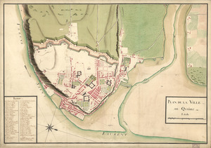
Plan de la ville de Québec
Library of Congress Collection
See map
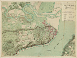
Plan of the city and environs of Quebec, with its siege and blockade by the Americans
Library of Congress Collection
See map
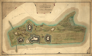
Plan of the Isle aux Noix, in the River Richelieu, and Province of Canada
Library of Congress Collection
See map
This map of Kentucke
Library of Congress Collection
See map
Marche de l'armée française de Providence à la Rivière du Nord
Library of Congress Collection
See map
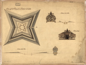
Plan of Fort Pownal at Penobscot built 1759
Library of Congress Collection
See map
Portsmouth, New Hampshire
Library of Congress Collection
See map
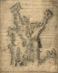
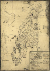
A map of the bay of Narraganset with the islands therein and part of the country adjacent
Library of Congress Collection
See map
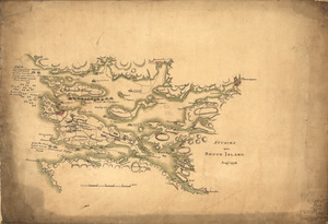
Plan von Rhode Island
Library of Congress Collection
See map
Attacks upon Rhode Island, Augt. 1778
Library of Congress Collection
See map
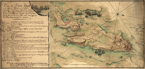
Plan de Rhode Island et les differentes operations de la flotte-françoises et des troupes americaines
Library of Congress Collection
See map
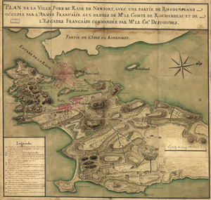
Plan de la ville, port, et rade de Newport
Library of Congress Collection
See map
Showing
397
to
408
of
876
results
Previous
Next