ARGO Home
Open menu
Stories
Themes
People
Partner Collections
About ARGO
Search
Subject:
Military
Borders
Indigenous Peoples
Roads and Routes
Houses and Property
Military
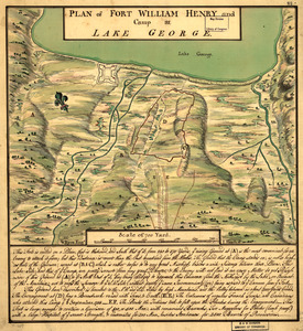
Plan of Fort William Henry and camp at Lake George
Library of Congress Collection
See map
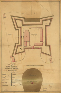
A plan of Fort George at the city of New-York
Library of Congress Collection
See map
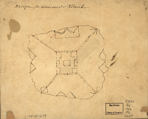
Design for Governor's Island
Library of Congress Collection
See map
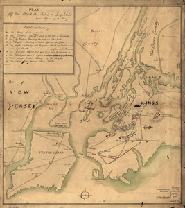
Plan of the attack the rebels on Long Island, by an officer of the Army
Library of Congress Collection
See map
A survey of Frog's Neck and the rout[e] of the British Army
Library of Congress Collection
See map
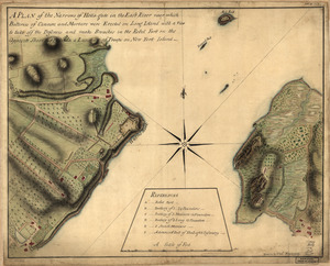
A plan of the Narrows of Hells-gate in the East River
Library of Congress Collection
See map
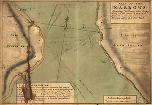
Plan of The Narrows, shewing the channel, shoal, depth of water, and the several battery's proposed on each side to prevent an enemy's sailing up to New York
Library of Congress Collection
See map
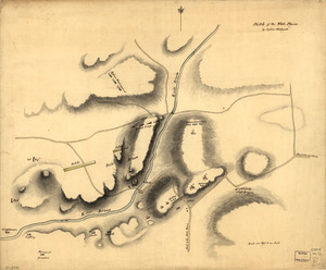
Sketch of the White Plains
Library of Congress Collection
See map
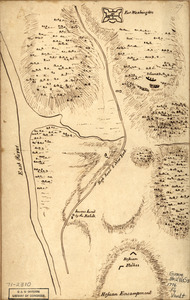
Fort Washington & vicinity
Library of Congress Collection
See map
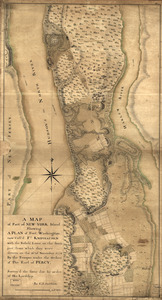
New York Island
Library of Congress Collection
See map
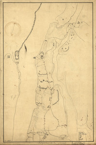
A tracing relating to Fort Washington or Knyphausen
Library of Congress Collection
See map
A map of part of New-York Island showing a plan of Fort Washington
Library of Congress Collection
See map
Showing
421
to
432
of
876
results
Previous
Next
![A survey of Frog's Neck and the rout[e] of the British Army](https://bpldcassets.blob.core.windows.net/derivatives/images/commonwealth:q524n8606/image_thumbnail_300.jpg)