ARGO Home
Open menu
Stories
Themes
People
Partner Collections
About ARGO
Search
Subject:
Roads and Routes
Borders
Indigenous Peoples
Roads and Routes
Houses and Property
Military
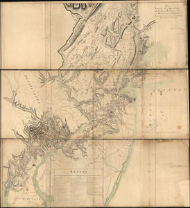
Côte de York-town à Boston: Marches de l'armée
Library of Congress Collection
See map
Plan of a rout undertaken in winter, Jany. 26th
Library of Congress Collection
See map
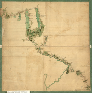
Penobscot River and Bay, with the operations of the English fleet, under Sir George Collyer
Library of Congress Collection
See map
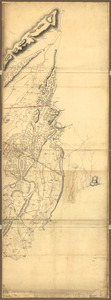
An accurate map of His Majesty's Province of New-Hampshire in New England & all the adjacent country northward to the River St. Lawrence, & eastward to Penobscot Bay
Library of Congress Collection
See map
New Hampshire
Library of Congress Collection
See map
Plan de Rhodes-Island, et position de l'armée françoise a Newport
Library of Congress Collection
See map
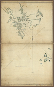
Plan de la ville, du port, et de la rade de New-port et Rhode Island
Library of Congress Collection
See map
Plan of part of western front
Library of Congress Collection
See map
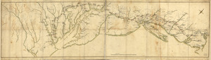
A map containing part of the Provinces of New York and New Jersey
Library of Congress Collection
See map
Plan general des operations de l'Armée Britanique contre les rebelles dans l'Amerique
Library of Congress Collection
See map
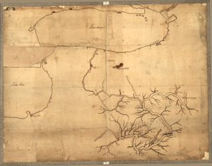
Map of Gen. Sullivan's march from Easton to the Senaca & Cayuga countries
Library of Congress Collection
See map
Operations in America
Library of Congress Collection
See map
Showing
661
to
672
of
1113
results
Previous
Next