ARGO Home
Open menu
Stories
Themes
People
Partner Collections
About ARGO
Search
Subject:
Roads and Routes
Borders
Indigenous Peoples
Roads and Routes
Houses and Property
Military
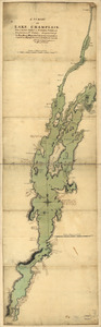
A survey of Lake Champlain, from Crown Point to Windmil Point, and from thence to St. Iohns
Library of Congress Collection
See map
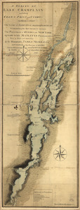
A survey of Lake Champlain including Crown Point and St. Iohn's
Library of Congress Collection
See map
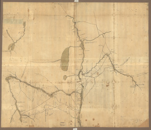
Map of the northern parts of New York
Library of Congress Collection
See map
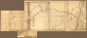
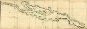
A Map of the route from the city of Albany to the Fort Osswego on the Lake of Cataroque
Library of Congress Collection
See map
N.W. parts of New York, no. 156
Library of Congress Collection
See map
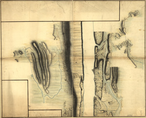
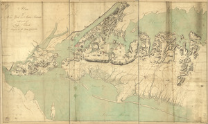
Plan of Governor's, Kennedy's, and Brown's Islan[ds] and Red Hook together with part of the Bay and soundings
Library of Congress Collection
See map
Map of that part of Orange County lying to the north of the mountains of the highlands
Library of Congress Collection
See map
New York Island and East Jersey
Library of Congress Collection
See map
Plan of New York and Staten Islands with part of Long Island, survey'd in the years 1781, & 82
Library of Congress Collection
See map
New York Island. Military. Unfinished
Library of Congress Collection
See map
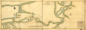
Plan, Lake Champlain from Fort St. John's to Ticonderoga
Library of Congress Collection
See map
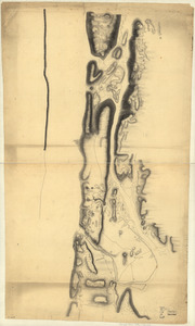
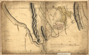
Plan of the attack of Fort Clinton and Montgomery which where [sic] stormed by His Majesty's forces
Library of Congress Collection
See map
Showing
673
to
684
of
1113
results
Previous
Next
![Plan of Governor's, Kennedy's, and Brown's Islan[ds] and Red Hook together with part of the Bay and soundings](https://bpldcassets.blob.core.windows.net/derivatives/images/commonwealth:q524nj614/image_thumbnail_300.jpg)
![Plan of the attack of Fort Clinton and Montgomery which where [sic] stormed by His Majesty's forces](https://bpldcassets.blob.core.windows.net/derivatives/images/commonwealth:q524nj90k/image_thumbnail_300.jpg)