ARGO Home
Open menu
Stories
Themes
People
Partner Collections
About ARGO
Search
Languages:
English
English
French
German
Latin
Spanish
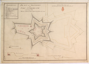
PLAN and SECTIONS of FORT CUMBERLAND in its Present State With the Additional Works Proposed
British Library Collection
See map
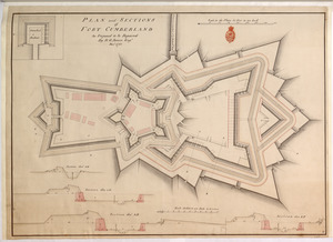
PLAN and SECTIONS of FORT CUMBERLAND As Proposed to be Repaired
British Library Collection
See map
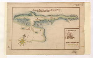
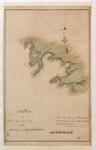
PLAN of the HARBOUR and Rivers of PORT LE JOYE in the Island of S.t Iohn
British Library Collection
See map
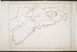
A Chart of The Peninsula of Nova Scotia 1765
British Library Collection
See map
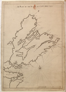
A PLAN OF THE ISLAND OF CAPE BRETON
British Library Collection
See map
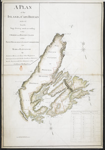
A PLAN of the ISLAND of CAPE BRITAIN reduced from the large Survey made according to the ORDERS and INSTRUCTIONS of the RIGHT HONORABLE the LORDS COMMISSIONERS for TRADE and PLANTATIONS
British Library Collection
See map
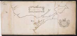
A Plan of Part of the East Coast of the Island of Cape Breton
British Library Collection
See map
A PLAN OF HALIFAX HARBOUR IN NOVA SCOTIA 1760
British Library Collection
See map
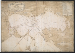
A PLAN OF THE HARBOUR AND FORTIFICATIONS OF LOUISBOURG
British Library Collection
See map
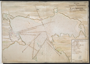
PLAN of the HARBOUR and FORTIFICATIONS of LOUISBOURG
British Library Collection
See map
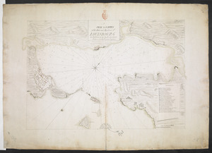
A PLAN & SURVEY of the Town and Harbour of LOUISBOURG
British Library Collection
See map
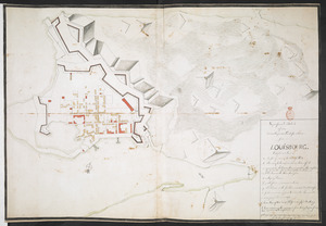
Superficial Sketch of an advantagious Fortification for LOUISBOURG
British Library Collection
See map
Showing
421
to
432
of
1647
results
Previous
Next