Research assistance from Jillian Ayles
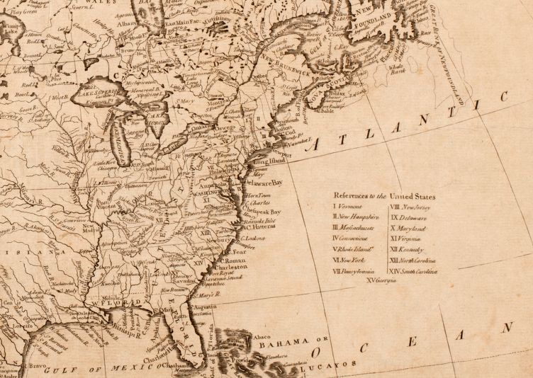
John Reid was a leading cartographer and publisher in the early United States. Unfortunately, very little is known about Reid except that he resided in New York during the time period where he produced the American Atlas, only the second atlas published in the United States.1 At the front of the Atlas was John Reid’s A General Map of North America 1796, also referred to as “the national map.”2 His other works can be found in our collections on ARGO.
Banner image: detail from Plan of the city of Washington in the territory of Columbia, 1795?
Bibliography
The Old Printing Gallery Blog, “John Reid’s Map of America” June 27, 2014. https://oldprintgallery.wordpress.com/2014/06/27/john-reids-map-of-america/.
Winterthur Museum, Garden and Library. “The National Map, 1785-1815.” http://commondestinations.winterthur.org/the-national-map/.